The Most Beautiful Hikes in Upper Corse
Between Corse's highest peak, coastal landscapes, the impressive Lake of Nino and its incredible pozzines, not to mention Cape Corse and its sublime sunrises and sunsets…
Between Corse's highest peak, coastal landscapes, the impressive Lake of Nino and its incredible pozzines, not to mention Cape Corse and its sublime sunrises and sunsets… We're sharing our top 4 most beautiful hiking itineraries to explore in Upper Corse.
The Summit of Monte Cinto

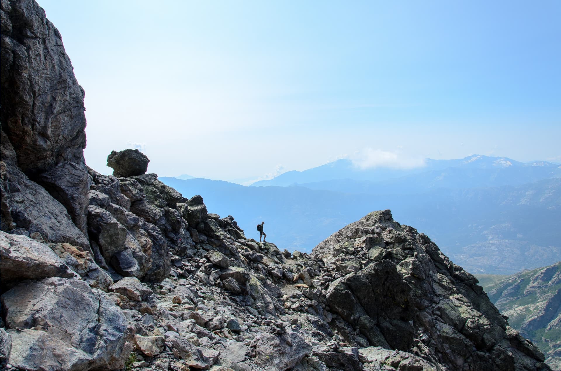
Located in the municipalities of Asco and Lozzi in the department of Upper Corse, Monte Cinto is Corse's highest peak. At an altitude of 2,760 meters, it represents a landmark stage on the mythical GR20 trail. The hike to the summit is challenging (the trail is marked in red), but well worth the effort. What awaits you? An unobstructed view from Corse's roof! The 360° panorama allows you to admire neighboring summits (Pintu Minuta, Paliadorba, and Monte Grosse), the Mediterranean Sea, and the Bay of Calvi. If the weather is clear, you might even catch a glimpse of the island of Elba. The easiest access is from the Asco station. Plan for 12 km of trail, roughly a full day for the round trip.
The Customs Officers' Trail

This is one of Upper Corse's most beloved hiking trails among visitors. And for good reason—it takes you through the famous Cape Corse headland, renowned for its exceptional natural landscapes. Walked by 40,000 people each year, the trail connects the port of Macinaggio to the port of Centuri. The yellow-marked route crosses 3 sections: the Macinaghju-Barcaghju, Barcaghju-Tollare, and Tollare-Centuri stretches. Along the way: you'll traverse stunning coastal landscapes with wild dunes and beaches, encounter Genoese towers and the Santa Maria tower, and might even spot the neighboring islands of Capraia and Elba… Plan for approximately 8 hours of hiking to complete the 26 km of this famous Customs Officers' Trail!
The Path of Light

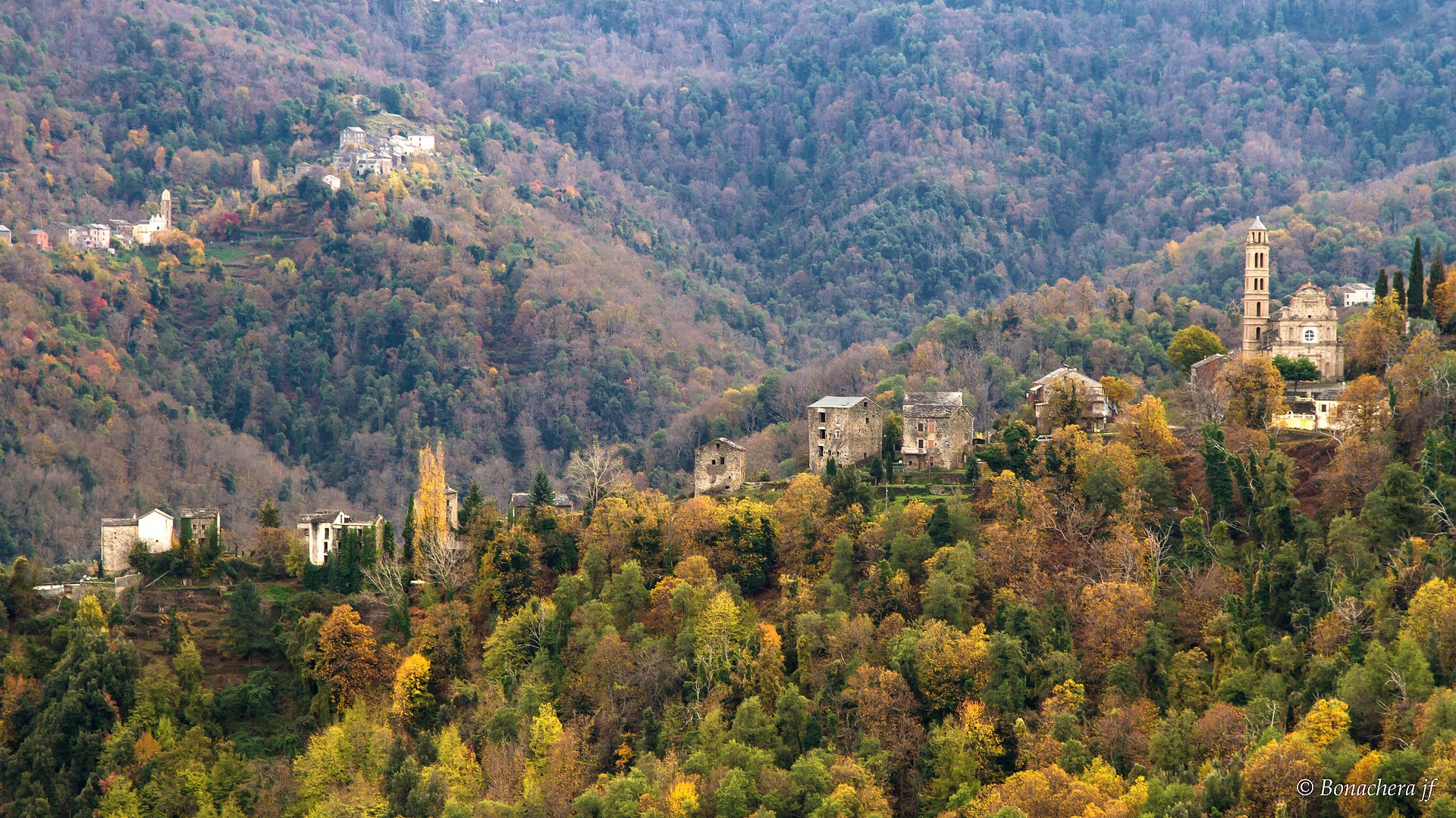
An ancient mule track, this trail was reopened at the initiative of a local village association under the name Path of Light. And indeed, this extraordinary itinerary gives hikers the chance to follow the sun's journey from sunrise to sunset, from east to west. The sun rising at Pietracorbara and setting off the coast of Barrettali. The 12 km trail, marked in yellow, departs from the hamlet of Lapedina and continues to the hamlet of Petricaghju in Barrettali, ending at the Saint-Jean-Baptiste chapel. Along the way, you'll discover the prehistoric site of Pic des Vierges and numerous chapels.
Lake of Nino

Covering 6.5 hectares, Lake of Nino is Corse's second-largest lake after Lake of Bettaniella. Nestled in the pastures at 1,740 meters altitude, it is the source of the Tavignano River. It's a favorite destination for hikers as it offers an exceptional mountain setting. What makes it renowned? Its pozzines—immense verdant plateaus dotted with natural water holes that contrast beautifully with the rocky landscapes of the GR20. Indeed, the GR20 route passes by the lake (between Col de Vergio and Refuge de Manganu), but we recommend taking the trail from Poppaghia to reach it. Expect approximately 3 hours of hiking to get there and an hour to walk around Lake of Nino.
Frequently asked questions
The best time to hike in Upper Corse is in spring (May–June) and autumn (September–October). In summer, high temperatures and crowds make hikes more challenging, particularly Monte Cinto. High-altitude trails like the GR20 and access to Lake of Nino are generally passable from June to October.
No, the hike to Monte Cinto's summit (2,760 m) is classified as difficult, indicated by red trail markings. It requires good physical fitness and mountaineering hiking experience. Expect a full day for the round trip over 12 km from Asco station. Proper equipment (mountain boots, warm clothing) is essential.
It takes approximately 8 hours to walk the 26 km of the Customs Officers' Trail, which connects the port of Macinaggio to the port of Centuri. The route is marked in yellow and divided into 3 sections. You can break it into multiple stages if you wish to fully enjoy the coastal landscapes.
Pozzines are unique natural formations characteristic of Corse's high plateaus. They are vast carpets of moss and aquatic plants dotted with small natural water holes. Around Lake of Nino (1,740 m altitude), they create a striking contrast with the rocky surrounding landscapes, making it one of Corse's most photographed natural sites.
It's recommended to start from Poppaghia to reach Lake of Nino. Expect approximately 3 hours of hiking to reach the lake, with an additional hour to walk around it. The lake is also accessible via the GR20 (between Col de Vergio and Refuge de Manganu), but the Poppaghia route is recommended for a day hike.
The Path of Light is an ancient 12 km mule track rehabilitated by a local association in Upper Corse. Marked in yellow, it departs from the hamlet of Lapedina and reaches the Saint-Jean-Baptiste chapel at Petricaghju in Barrettali. Its unique feature is following the sun's path from east to west, from sunrise at Pietracorbara to sunset off the coast of Barrettali. Along the way, discover the prehistoric site of Pic des Vierges and several chapels.